A century plus of commitment.
Our Major Concerns
Backlog maintenance remains a concern for the Association. Funding in the civil works budgets for the U.S. Army Corps of Engineers for the Ouachita-Black Rivers Navigation Project has fluctuated and has reflected downward trends in recent years considering the loss of buying power. Though funding jumped somewhat from 2023 to 2024 and funding from additional sources in 2022 served to address some of the growing backlog issues, we remained concerned it was still not enough considering the aging infrastructure of the Corps’ locks and dams. (The Arkansas and Louisiana locks and dams are ~ 40 and 50 years old, respectively.) The locks and dams simply cannot afford to fail due to lack of maintenance. To date, projections amount to more than $34M in backlog maintenance
Modification of the Ouachita-Black Rivers Navigation Project to include bank stabilization as a Project Feature. ORVA has requested the modification of the Ouachita-Black Rivers Navigation Project to include bank stabilization as a feature of the Project. We are greatly concerned with bank caving and other erosion problems on the Ouachita and Black Rivers in multiple areas. This problem is not only confined to Louisiana, but reaches well into the upper Ouachita, especially in the Camden, Arkansas area. Modification of the Project to include bank stabilization as a project feature places it under federal authority for maintenance and repair.
It is ORVA’s opinion that the Mississippi River and Tributaries (MR&T) Project (now almost 100 years old) is incomplete on the Ouachita-Black Rivers Navigation Project, namely, the portion of the Ouachita River Levee System (the lower 63 miles of the east bank of the Ouachita River levee system) at and below Monroe, Louisiana to Caldwell Parish, Louisiana. The MR&T should not be piecemealed and should be fully restored to the original intent of the Flood Control Act of 1928. All segments of the levee project need to be classified as part of the MR&T Project. We are also of the opinion that removal (the “deauthorization”) of the lower 63 was implemented in error.
ORVA has consistently lobbied for the lower 63 to be authorized (or restored) to the MR&T Program. With that said, the Association has initiated coordination with the Army Corps to begin a request for a “sister” channel improvement program. This program – which would be an “MR&T-like” program – is intended to bring the remainder of the Project under federal authority. We have requested legislative drafting services for a new authority, i.e., an “MR&T-like” channel improvement program.
The construction of a new Lake DeGray Field Office and Interpretive Visitor Center remains an ORVA concern. The Corps’ lakes significantly contribute to the economy of Arkansas, and the Hot Springs community in particular, in the areas of tourism, recreation, and development. The Lake DeGray Field Office, inextricably linked to the Hot Springs economy, is the last remaining facility to be replaced at the Vicksburg Districts’ Arkansas Lake Projects. A new Field Office and Interpretive Visitor Center represents a win-win for the Corps, the region, and area visitors, not to mention the safety and health of Corps employees.
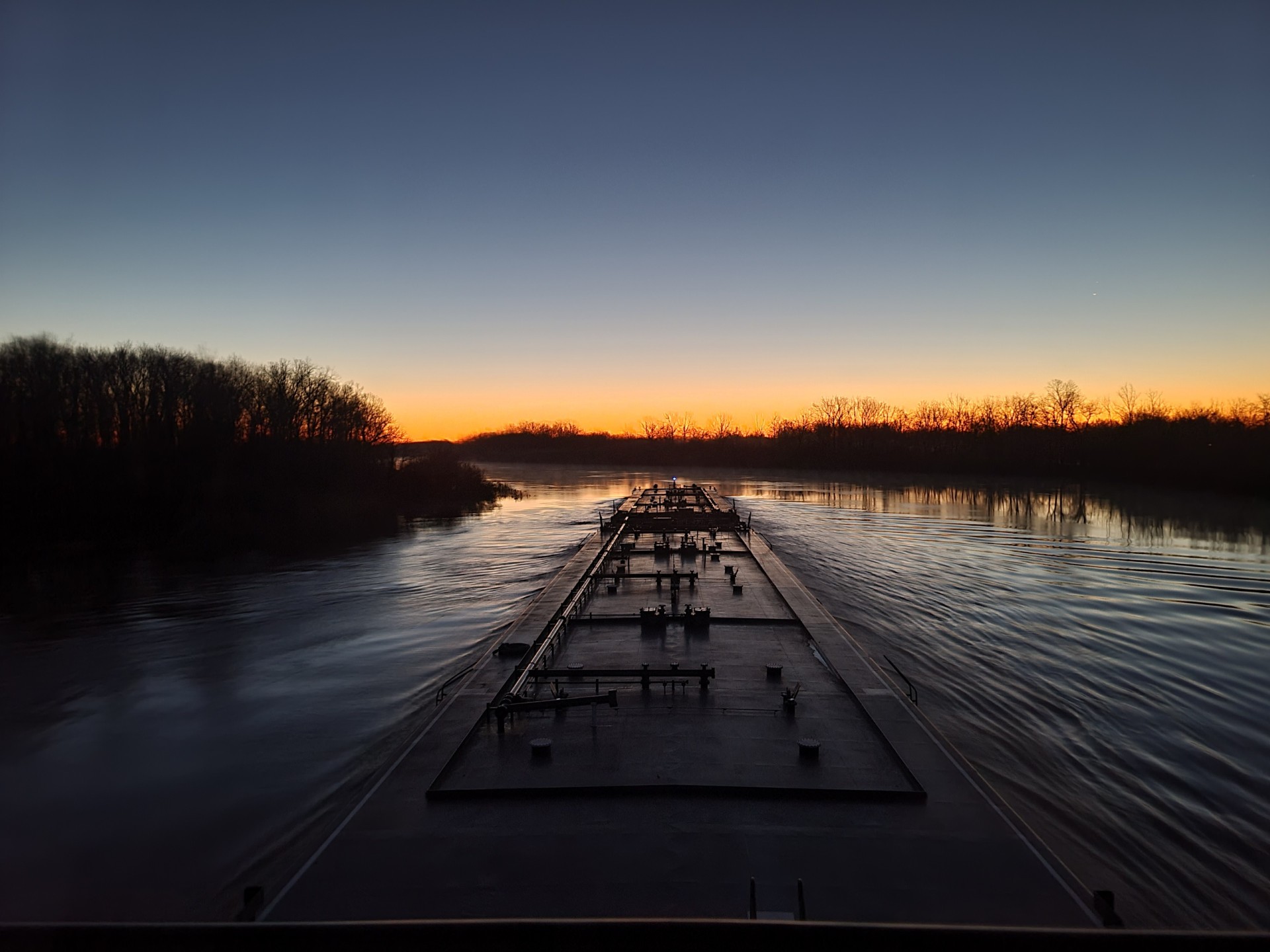
ORVA is quite concerned with the lack of dredging. While dredging operations in the lower regions of the Ouachita-Black Rivers Navigation Project (Project) have been consistent, we are concerned with those operations which have been nonexistent in the northern reaches. The lack of dredging operations above the state line have been sporadic or nonexistent for almost a decade.
Most recently, the discovery of several threatened and/or endangered species of mussels have stymied efforts to dredge portions of the Ouachita above the state line. A second, more detailed environmental study and count of mussels is currently underway. Dredging in the northern regions would restore the authorized channel all the way to Camden, Arkansas, the head of navigation, and spur economic development in the area. We must open and maintain this crucial interstate highway system all the way to Camden.
The Association believes we must implement a comprehensive watershed study of the Ouachita River Basin to study the water resources needs of the Ouachita River Watershed in Arkansas and Louisiana. With the last river basin study conducted more than 120 years ago, much has changed in the Ouachita River basin. A real need exists to conduct a basin-wide comprehensive study to devise a plan for the development and conservation of water and land resources in Arkansas and Louisiana. This study, supported by numerous stakeholders and environmental associations, would also serve as a basis for both the Corps of Engineers and other agencies to examine current and future problems and needs related to flood damage reduction, navigation, water supply, bank stabilization, ecosystem restoration, and recreation. A detailed study of the river, last conducted in 1902, would serve to address the many diverse social, environmental, and economic needs of this important watershed.
Designation of the Ouachita River as Marine Highway M-165. ORVA proposes to designate the Ouachita River as Marine Highway M-165. The designation of the Ouachita as a marine highway brings visibility for interstate commerce and federal funding. We believe the designation will greatly benefit the people of the Ouachita River basin.

