A river basin of opportunity.
Our Major Interests
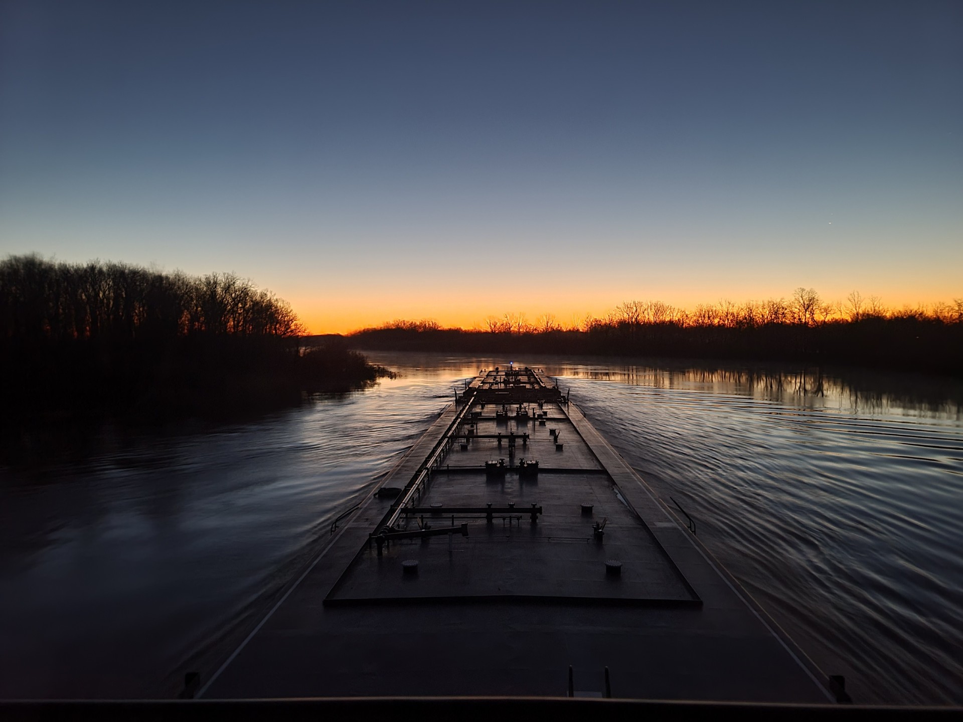
Navigation. Providing a dependable, year-round navigation is ORVA’s priority interest and purpose. Navigation runs from the mouth of the Black River in Louisiana to Camden, Arkansas, a distance of approximately 330 river miles. To facilitate navigation, the U.S. Army Corps of Engineers maintains four locks and dams on the Ouachita River, each having a lock chamber 94 feet wide and 600 feet in length. The navigation channel is maintained to a 9 foot depth and 100 foot width to accommodate barge traffic.
Water Supply. The Ouachita-Black Rivers Navigation Project provides a dependable source of water for municipal, industrial, and agricultural use along its entire length and is becoming an increasingly important component of the river. In fact, water supply became a project feature of the Navigation Project in 2020; a huge win for the people of the Ouachita River Basin. Several municipalities depend on the Ouachita to provide water supply to its residents. Along with municipal water supply, is the supply of industrial, or commercial water by multiple firms within the Ouachita River valley. An evolving use of the river is for agricultural use. Thousands of acres of agricultural fields, primarily in the southern reaches of the basin, are using the river for irrigation, greatly increasing the value of agricultural commodities.
Recreation and Conservation. In addition to the three U.S. Army Corps of Engineers lakes, there are 21 Corps recreational areas along the Ouachita-Black Rivers and tributaries. Still, there are others managed by state, local, and private entities. Two national wildlife refuges – Felsenthal and the Upper Ouachita – lie adjacent to the Ouachita River in Arkansas and Louisiana. Felsenthal National Wildlife Refuge (NWR), located in southeast Arkansas, is dominated by the Ouachita and Saline Rivers and the Felsenthal pool. The Upper Ouachita NWR, located in northeast Louisiana, is bisected by 18 miles of the Ouachita River.
Wastewater Discharge. Discharge is based on two important factors which are key to the dilution of wastewater: the flow and volume of water in the river. Volume is dependent on the level of the river and nature plays the major role in the process. The level of the river in large part, however, can also be controlled by the locks and dams. Wastewater discharge is an everyday fact of life; a fact we must watch closely.
Flood Damage Reduction is of paramount importance to ORVA. Two critical focus areas are the restoration of the lower 63 miles of the east bank of the Ouachita River levee system (at and below Monroe, Louisiana to Caldwell Parish, Louisiana) to the Mississippi River and Tributaries (MR&T) Project and the modification of the Ouachita-Black Rivers Navigation Project to include bank stabilization as a project feature. Although not a part of the Ouachita-Black Rivers Navigation Project, the Ouachita River levee system is closely associated with navigation as it provides flood damage reduction primarily in the lower 63 miles where the majority of erosion and damage occurs.
Economic Development. The river is an interstate highway which serves as the center for navigation, recreation, economic development, drinking water, and community identity. Its economic value is high and its impact continues to grow! The Ouachita River is critically important to area economies and is more important than ever to the welfare and economic success of the Basin. The Association, together with its partners and stakeholders, continues to pursue and support all avenues of economic development within the basin.